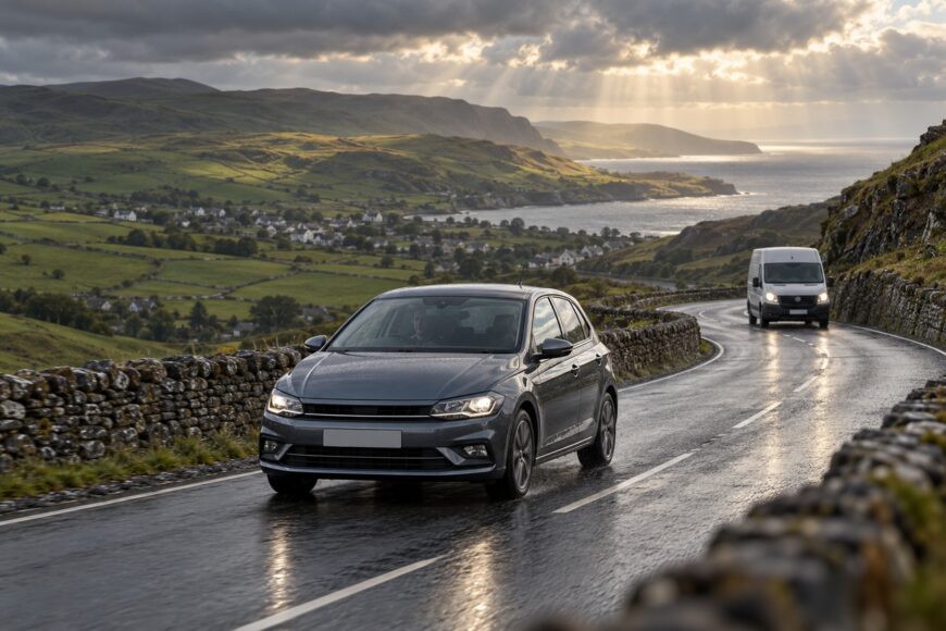
The Isle of Man TT Course is famous as a racing route, yet a Polo driver encounters something more demanding in a quieter way: 37.73 miles (60.72 km) of active public roads, with villages, walls, blind rises, changing surfaces, and ordinary traffic. The road is narrow in places, and traffic drives on the left, which adds another layer of concentration for visitors.
Access is also conditional. A complete civilian drive is possible only when the relevant roads are open to public traffic; race and practice closures prevent normal vehicles from using those sections. In a VW Polo, the sensible aim is therefore to read the road, manage the weather, and leave room for other people rather than treat the course as a lap-time challenge.
- What Driving the TT Course Actually Means
- Check Access, Weather, and the Polo Before Leaving
- Douglas to Ramsey: Narrow Roads, Villages, and Blind Crests
- Ramsey to Douglas: Let Visibility Set the Mountain Pace
- What the VW Polo Helps With—and What It Cannot Fix
- Photo Stops, Fatigue, and the Racetrack Myth
- Frequently asked questions
- How long should I allow to drive the full course?
- What is the highest average speed in the Isle of Man TT?
- What car holds the Isle of Man TT record?
- What is the fastest-ever lap of the Isle of Man TT?
What Driving the TT Course Actually Means
The Mountain Course is 37.73 miles (60.72 km) long. It follows public roads, not a permanent closed circuit, so the character of the drive changes repeatedly. Built-up streets give way to open countryside, narrow sections, gradients, and stretches that appear faster than they really are.
On an ordinary day, you are sharing the route with residents, delivery vehicles, cyclists, motorcyclists, and other visitors. Road signs, junctions, parked vehicles, and local traffic remain part of the course. A complete civilian drive is possible only when the relevant roads are open to public traffic, and you cannot use sections closed for racing or practice.
That distinction changes the meaning of “completing the course.” It is a route-planning exercise, not a timed lap. You may need to slow for a village, wait behind traffic, take a lawful break, or change the plan because of weather or a temporary restriction.
The famous landmarks can create an unhelpful mental picture of uninterrupted speed. In practice, they are reference points on a public-road journey. Treating Bray Hill, Cronk-y-Voddy, or any other named section as an invitation to accelerate removes the margin that makes the drive manageable.
Check Access, Weather, and the Polo Before Leaving
Start with current official notices and road signs, then check the forecast for the route rather than relying on conditions in Douglas. TT and Classic TT periods can bring road closures and temporary restrictions, while local conditions can change after you have set off. An early start may reduce traffic, but it does not guarantee open roads or an empty course.
Rain, fog, and gusting wind can alter the task quickly, particularly on exposed sections. A dry departure can become a wet, low-visibility drive higher on the course. If the relevant roads are closed, postpone the full route or follow an available alternative; do not attempt to work around barriers or temporary controls.
Give the Polo a practical check before leaving. Inspect the tyres, confirm that the lights and wipers work, clean the windscreen and mirrors, and make sure the driver’s view is not restricted by luggage or condensation. A compact front-wheel-drive hatchback is easy to place, but its dimensions cannot compensate for poor visibility or a slippery surface.
Plan stopping points before you move. Mark lawful parking and fuel or refreshment options on a map, while allowing for diversions and delays. Satellite navigation can help with orientation, but it cannot show the true width of a road, the severity of a crest, or whether a safe stopping place is available just beyond a viewpoint.
Douglas to Ramsey: Narrow Roads, Villages, and Blind Crests
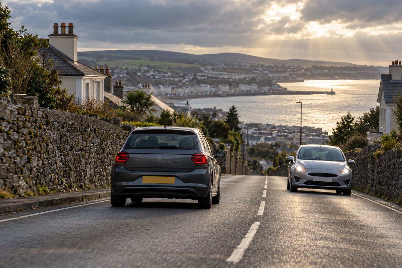
Leaving Douglas, the route quickly demonstrates why steady attention matters more than the Polo’s size. Traffic drives on the left on the Isle of Man, and visitors can lose concentration at junctions or while negotiating a narrow section with oncoming vehicles. Keep a clear position within your lane, and avoid allowing the road’s racing reputation to dictate your pace.
Bray Hill is a useful example of changing gradient and visibility. A road that looks open from a distance can conceal a crest, a compressed turn, a wall, or a vehicle appearing from the opposite direction. Reduce speed before the view disappears, rather than relying on late braking after the road has already changed direction or level.
Further along, the journey alternates between villages, tighter roads, and faster-looking stretches. That repeated change is tiring because your attention must move from pedestrians and parked cars to bends, gradients, and approaching traffic. A Polo can be placed neatly on a narrow road, but there is no extra room if you cut a blind corner or meet a vehicle close to a wall.
Cronk-y-Voddy illustrates the same point in a different setting. Its name may suggest a racing landmark, yet the correct approach in a civilian car is to read the surface and the sightline as they are on that day. Leave enough distance to stop within the road you can see, and let following traffic wait rather than pressuring yourself into a faster entry.
Ramsey to Douglas: Let Visibility Set the Mountain Pace
The return towards Douglas brings more exposed roads and a different visual workload. Open scenery can make the route feel less restrictive, while a blind rise, close roadside boundary, or sudden gust still leaves little room for correction. The road’s apparent width is a poor guide to how much space you actually have.
Hillberry and the surrounding approach show why conditions matter more than reputation. Rain can reduce grip, fog can remove the view beyond a crest, and wind can disturb the car as the road crosses an exposed section. Wet markings, leaves, and changing shadows may also make the surface harder to read.
Choose a pace that allows you to stop within the visible road, and obey posted and temporary restrictions wherever they apply. There is no universal Mountain Course speed to use as a target. A speed that feels comfortable on a clear, dry stretch may be unsuitable minutes later when visibility closes or traffic appears.
Use the return leg to notice fatigue rather than dismiss it. Repeated braking, left-side positioning, scanning for walls, and checking mirrors demand more concentration than a normal scenic drive. If the road no longer feels easy to interpret, stop at a lawful location or leave the course rather than trying to complete it without a break.
What the VW Polo Helps With—and What It Cannot Fix
The VW Polo is a compact front-wheel-drive hatchback, and its dimensions can help when lanes tighten or vehicles pass close by. A smaller car is easier to position accurately, easier to place near the center of its lane without feeling oversized, and less awkward in village streets. Those are useful practical qualities, especially for a driver unfamiliar with the island.
They do not remove hazards created by poor visibility, slippery surfaces, gradients, or other traffic. Front-wheel drive does not make a wet bend predictable, and a light hatchback can still respond abruptly if the driver brakes, steers, or accelerates sharply. Smooth inputs protect the available grip and give the car a more settled path.
On a blind descent, select the gear and reduce speed before the crest rather than braking sharply after the road drops away. Early, smooth inputs keep the Polo balanced as the load shifts, which is easier to manage than correcting a rushed approach mid-corner.
Choose a suitable gear before a descent or a change in gradient, and brake in a measured way while the road is still readable. Avoid entering a blind section quickly and then relying on a sudden pedal input to solve the problem. The aim is controlled progress, with enough reserve for a vehicle, cyclist, or unexpected surface change.
The Polo’s low driving position can also make speed feel greater than it does in a taller vehicle. Use that sensation as a reminder to stay conservative. Compact dimensions help with placement; they do not turn the TT Course into an easy road.
Photo Stops, Fatigue, and the Racetrack Myth
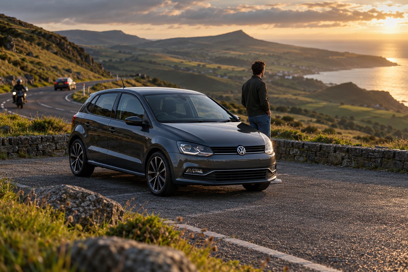
The least dramatic part of the journey may be finding somewhere safe to stop. Popular viewpoints can have visitors and parked vehicles, while narrow verges may offer no protection from passing traffic. Identify lawful parking before the drive, and never stop simply because a landmark appears at the next bend.
Photos are best treated as a separate activity from driving. If a view is worth seeing, park fully in a permitted place, leave the road clear, and walk only where it is safe and allowed. A short break can also restore concentration after a sequence of blind rises, walls, and close encounters with oncoming vehicles.
Fatigue builds quietly on this course. The driver may feel calm while still making small, repeated decisions about lane position, gear selection, sightlines, and traffic. After several sections, the temptation is to hurry because the route is taking longer than expected; that is a good point to pause rather than chase an uninterrupted completion.
The central myth is that an open TT route behaves like a racetrack. The Mountain Course follows public roads, not a permanent closed circuit, and its famous locations remain part of a living road network outside controlled events. Disciplined driving means observing restrictions, respecting local traffic, and keeping a margin for the road you cannot yet see.
Frequently asked questions
How long should I allow to drive the full course?
Allow substantially more time than a calculation based on racing speeds, because a civilian drive includes ordinary traffic, village sections, lawful stops, weather changes, and possible diversions. The route is 37.73 miles (60.72 km), but distance alone does not predict the day’s duration.
Schedule it as a flexible outing rather than a timed lap. Check access before departure, identify safe stopping places, and keep enough daylight and energy in reserve to stop early if visibility or fatigue deteriorates.
What is the highest average speed in the Isle of Man TT?
The highest average speed is a racing statistic tied to a particular TT class, rider, machine, and official timing context. It is not a suitable target for a road-going Polo, and it does not describe the pace available to civilian traffic on an open course.
For a normal drive, use posted and temporary restrictions, traffic, sight distance, and surface conditions as your limits. The relevant decision is whether you can stop within the visible road, not how an event average compares with your journey.
What car holds the Isle of Man TT record?
There is no single general “car record” that defines driving the Mountain Course in a civilian vehicle. The TT is primarily associated with motorcycle competition, while car demonstrations or timed runs may use different rules and conditions from public-road travel.
Do not choose a Polo, or any other car, on the assumption that a record vehicle makes the route safer. On an open course, visibility, road access, weather, traffic, and driver discipline matter more than a headline performance claim.
What is the fastest-ever lap of the Isle of Man TT?
The fastest-ever lap is an event-record figure from controlled TT competition, not a benchmark for a road trip. Its relevance depends on the class, the machine, the rider, the timing rules, and the course conditions at the time.
A civilian cannot reproduce that context legally or safely on roads open to public traffic. If your aim is to experience the course in a Polo, treat the journey as a careful inspection of public roads and follow every closure, sign, and temporary restriction.